Roboception offers innovative navigation, real-time perception and manipulation solutions for robotic systems, thanks to a combination of hardware and software products. Our sensor rc_visard provides ego-motion, depth data and point clouds in real time, and it is complemented with our software suite rc_reason, which provides onboard functionalities for different perception-based operations such as tag detection (TagDetect module), determination of gripping points for suction cup pick and place actions (Itempick module), and box detection for palletizing and depalletizing applications (Boxpick).
The rc_visard sensor has an existing ROS interface developed with a previous ROSIN funded FTP called visard4ROS. During this new FTP, rcreason4ROS, the interfaces of the components in the rc_reason suite are integrated into ROS to enable their usage with ROS-based robotic applications. Documentation, examples and tutorials are also provided to facilitate the implementation of all the software modules within rc_reason.
Our solutions
rc_reason is a modular software that simplifies image data interpretation. rc_reason components can be easily activated on-board any rc_visard, and intuitively operated through the sensor’s standard user interface. They include:
- Boxpick: provides a solution for robotic pick-and-place applications such as palletizing/depalletizing and sorting of packets.
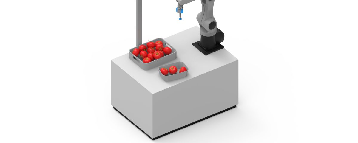
- Itempick: a solution for robotic pick-and-place applications using suction grippers. It computes surface grasp poses for a suction device on a given object, without requiring the explicit CAD model.
- IO control: some Itempick applications, in particular for difficult objects or workspaces, can be optimized by equipping the rc_visard with a Randomdot projector and corresponding IO Control Module.
- TagDetect: enables a robust out-of-the-box detection of QR codes and AprilTags. It calculates the 3D position and orientation of each tag relative to the sensor.
- SLAM (Simultaneous Localization and Mapping): allows rc_visard to create a map of its environment, while simultaneously estimating its current location.


